Footbridge over the River Don
Introduction
The photograph on this page of Footbridge over the River Don by Oliver Dixon as part of the Geograph project.
The Geograph project started in 2005 with the aim of publishing, organising and preserving representative images for every square kilometre of Great Britain, Ireland and the Isle of Man.

There are currently over 7.5m images from over 14,400 individuals and you can help contribute to the project by visiting https://www.geograph.org.uk
Footbridge over the River Don
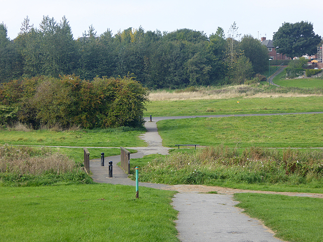
Image: © Oliver Dixon Taken: 30 Sep 2015
On the River Don Path, a six-mile walk from West Boldon to the River Tyne at Jarrow. Here the path passes through a large open area at Primrose.
Images are licensed for reuse under creativecommons.org/licenses/by-sa/2.0
Image Location


Leaflet Map data © OpenStreetMap
Latitude
54.965379
Longitude
-1.480955