Church Road bus stop and shelter, Talywain
Introduction
The photograph on this page of Church Road bus stop and shelter, Talywain by Jaggery as part of the Geograph project.
The Geograph project started in 2005 with the aim of publishing, organising and preserving representative images for every square kilometre of Great Britain, Ireland and the Isle of Man.

There are currently over 7.5m images from over 14,400 individuals and you can help contribute to the project by visiting https://www.geograph.org.uk
Church Road bus stop and shelter, Talywain
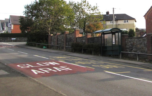
Image: © Jaggery Taken: 29 Sep 2015
Near the southern edge of Talywain, between British School Close and Manor Road (ahead).
Images are licensed for reuse under creativecommons.org/licenses/by-sa/2.0
Image Location
Latitude
51.727491
Longitude
-3.070931