St Francis Close, Talywain
Introduction
The photograph on this page of St Francis Close, Talywain by Jaggery as part of the Geograph project.
The Geograph project started in 2005 with the aim of publishing, organising and preserving representative images for every square kilometre of Great Britain, Ireland and the Isle of Man.

There are currently over 7.5m images from over 14,400 individuals and you can help contribute to the project by visiting https://www.geograph.org.uk
St Francis Close, Talywain
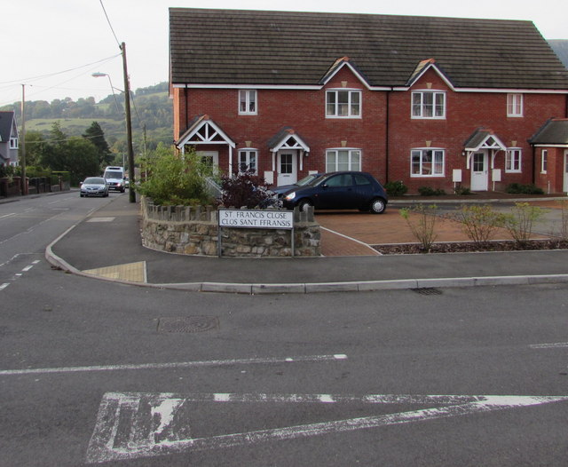
Image: © Jaggery Taken: 29 Sep 2015
This part of St Francis Close (Clos Sant Ffransis in Welsh) is on the corner of the B4246 Church Road, viewed in late September 2015. These houses were built in the second decade of the 21st century. A June 2011 Google Earth Street View shows a building site here with rubble and building materials, but no houses.
Images are licensed for reuse under creativecommons.org/licenses/by-sa/2.0
Image Location
Latitude
51.728569
Longitude
-3.070956