Meals House near Holkham Gap
Introduction
The photograph on this page of Meals House near Holkham Gap by Nigel Stickells as part of the Geograph project.
The Geograph project started in 2005 with the aim of publishing, organising and preserving representative images for every square kilometre of Great Britain, Ireland and the Isle of Man.

There are currently over 7.5m images from over 14,400 individuals and you can help contribute to the project by visiting https://www.geograph.org.uk
Meals House near Holkham Gap
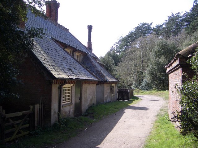
Image: © Nigel Stickells Taken: 17 Apr 2007
Meals House shown here lies on the publicly accessible trackway that skirts the southern edge of the pinewoods to the west of Holkham Gap.
Images are licensed for reuse under creativecommons.org/licenses/by-sa/2.0
Image Location
Latitude
52.971241
Longitude
0.79961