Talywain bus stop and shelter near a decaying former church
Introduction
The photograph on this page of Talywain bus stop and shelter near a decaying former church by Jaggery as part of the Geograph project.
The Geograph project started in 2005 with the aim of publishing, organising and preserving representative images for every square kilometre of Great Britain, Ireland and the Isle of Man.

There are currently over 7.5m images from over 14,400 individuals and you can help contribute to the project by visiting https://www.geograph.org.uk
Talywain bus stop and shelter near a decaying former church
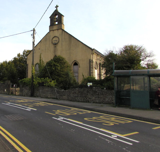
Image: © Jaggery Taken: 29 Sep 2015
Viewed across Commercial Road in late September 2015. The building is the former church of St Thomas which closed down in 1995. The effects on the structure after 15 years of neglect can be seen in this http://www.geograph.org.uk/photo/1857620 photo taken in 2010. More than five years have passed since then...
Images are licensed for reuse under creativecommons.org/licenses/by-sa/2.0
Image Location
Latitude
51.730103
Longitude
-3.070413