Chapel Ford
Introduction
The photograph on this page of Chapel Ford by John Walton as part of the Geograph project.
The Geograph project started in 2005 with the aim of publishing, organising and preserving representative images for every square kilometre of Great Britain, Ireland and the Isle of Man.

There are currently over 7.5m images from over 14,400 individuals and you can help contribute to the project by visiting https://www.geograph.org.uk
Chapel Ford
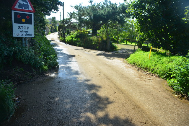
Image: © John Walton Taken: 22 Sep 2015
This ford appears on the OS 1:25000 maps but on the ground is difficult to see. The culvert of this irish bridge ford runs diagonally under the road.
Images are licensed for reuse under creativecommons.org/licenses/by-sa/2.0
Image Location
Latitude
50.406636
Longitude
-5.03948