Northern end of the Commercial Close roadway, Talywain
Introduction
The photograph on this page of Northern end of the Commercial Close roadway, Talywain by Jaggery as part of the Geograph project.
The Geograph project started in 2005 with the aim of publishing, organising and preserving representative images for every square kilometre of Great Britain, Ireland and the Isle of Man.

There are currently over 7.5m images from over 14,400 individuals and you can help contribute to the project by visiting https://www.geograph.org.uk
Northern end of the Commercial Close roadway, Talywain
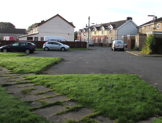
Image: © Jaggery Taken: 29 Sep 2015
The road ends at grass about 20 metres beyond the northernmost houses in the close.
Images are licensed for reuse under creativecommons.org/licenses/by-sa/2.0
Image Location
Latitude
51.731532
Longitude
-3.07146