Modern bungalow and derelict former church hall in Talywain
Introduction
The photograph on this page of Modern bungalow and derelict former church hall in Talywain by Jaggery as part of the Geograph project.
The Geograph project started in 2005 with the aim of publishing, organising and preserving representative images for every square kilometre of Great Britain, Ireland and the Isle of Man.

There are currently over 7.5m images from over 14,400 individuals and you can help contribute to the project by visiting https://www.geograph.org.uk
Modern bungalow and derelict former church hall in Talywain
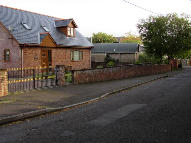
Image: © Jaggery Taken: 29 Sep 2015
Viewed across Bluetts Road. The derelict former St Thomas Church Hall http://www.geograph.org.uk/photo/4680068 is on the right.
Images are licensed for reuse under creativecommons.org/licenses/by-sa/2.0
Image Location
Latitude
51.730826
Longitude
-3.069996