Pavementless part of the A4043 in Abersychan
Introduction
The photograph on this page of Pavementless part of the A4043 in Abersychan by Jaggery as part of the Geograph project.
The Geograph project started in 2005 with the aim of publishing, organising and preserving representative images for every square kilometre of Great Britain, Ireland and the Isle of Man.

There are currently over 7.5m images from over 14,400 individuals and you can help contribute to the project by visiting https://www.geograph.org.uk
Pavementless part of the A4043 in Abersychan
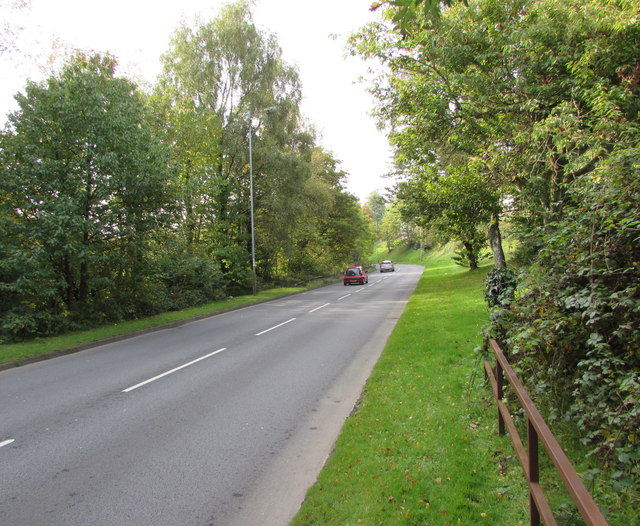
Image: © Jaggery Taken: 29 Sep 2015
The A4043 is a 10km long road from Blaenavon in the north to Pontypool in the south. The A4043's route is along a river valley (the Afon Lwyd). There are no pavements alongside this part of the road, only grass banks which are still wet at 10am after a heavy overnight dewfall in late September 2015.
Images are licensed for reuse under creativecommons.org/licenses/by-sa/2.0
Image Location
Latitude
51.726707
Longitude
-3.058171