House near a bend in the A4043, Abersychan
Introduction
The photograph on this page of House near a bend in the A4043, Abersychan by Jaggery as part of the Geograph project.
The Geograph project started in 2005 with the aim of publishing, organising and preserving representative images for every square kilometre of Great Britain, Ireland and the Isle of Man.

There are currently over 7.5m images from over 14,400 individuals and you can help contribute to the project by visiting https://www.geograph.org.uk
House near a bend in the A4043, Abersychan
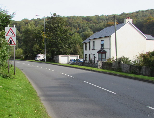
Image: © Jaggery Taken: 29 Sep 2015
The A4043 is a 10km long road from Blaenavon in the north to Pontypool in the south. The A4043's route is along a river valley (the Afon Lwyd). The river here is 90 metres behind the house.
Images are licensed for reuse under creativecommons.org/licenses/by-sa/2.0
Image Location
Latitude
51.728069
Longitude
-3.056755