Collacott
Introduction
The photograph on this page of Collacott by Derek Harper as part of the Geograph project.
The Geograph project started in 2005 with the aim of publishing, organising and preserving representative images for every square kilometre of Great Britain, Ireland and the Isle of Man.

There are currently over 7.5m images from over 14,400 individuals and you can help contribute to the project by visiting https://www.geograph.org.uk
Collacott
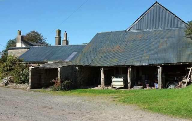
Image: © Derek Harper Taken: 26 Sep 2015
The southern side of a listed range of farm buildings; here is the cart shed attached to the linhay http://www.historicengland.org.uk/listing/the-list/list-entry/1079638 . On the left can be seen the farmhouse http://www.historicengland.org.uk/listing/the-list/list-entry/1079636 . This is beside Chittlehampton Footpath 21.
Images are licensed for reuse under creativecommons.org/licenses/by-sa/2.0
Image Location
Latitude
51.035136
Longitude
-3.935317