Junction of Commercial Road and Farm Road, Talywain
Introduction
The photograph on this page of Junction of Commercial Road and Farm Road, Talywain by Jaggery as part of the Geograph project.
The Geograph project started in 2005 with the aim of publishing, organising and preserving representative images for every square kilometre of Great Britain, Ireland and the Isle of Man.

There are currently over 7.5m images from over 14,400 individuals and you can help contribute to the project by visiting https://www.geograph.org.uk
Junction of Commercial Road and Farm Road, Talywain
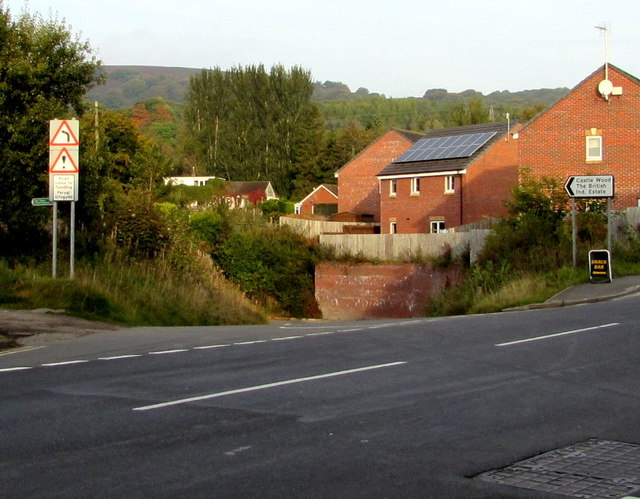
Image: © Jaggery Taken: 29 Sep 2015
Farm Road descends from the B4246 Commercial Road towards Castle Wood and The British Industrial Estate. The sign on the left shows that Farm Road is liable to flooding.
Images are licensed for reuse under creativecommons.org/licenses/by-sa/2.0
Image Location


Leaflet Map data © OpenStreetMap
Latitude
51.732412
Longitude
-3.073509