Pizien Well
Introduction
The photograph on this page of Pizien Well by Marathon as part of the Geograph project.
The Geograph project started in 2005 with the aim of publishing, organising and preserving representative images for every square kilometre of Great Britain, Ireland and the Isle of Man.

There are currently over 7.5m images from over 14,400 individuals and you can help contribute to the project by visiting https://www.geograph.org.uk
Pizien Well
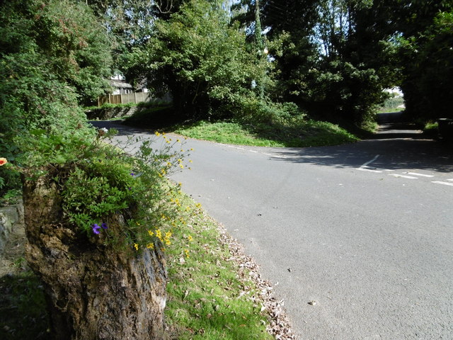
Image: © Marathon Taken: 7 Sep 2015
This is Pizien Well Road in the hamlet of Pizien Well, to the west of Wateringbury. Old Road on the right leads to Wateringbury. The road crosses a stream here which forms the lakes in Mereworth Park and in due course meets the River Medway near Wateringbury Bridge.
Images are licensed for reuse under creativecommons.org/licenses/by-sa/2.0
Image Location
Latitude
51.254778
Longitude
0.40023