The edge of Kings Hill
Introduction
The photograph on this page of The edge of Kings Hill by Marathon as part of the Geograph project.
The Geograph project started in 2005 with the aim of publishing, organising and preserving representative images for every square kilometre of Great Britain, Ireland and the Isle of Man.

There are currently over 7.5m images from over 14,400 individuals and you can help contribute to the project by visiting https://www.geograph.org.uk
The edge of Kings Hill
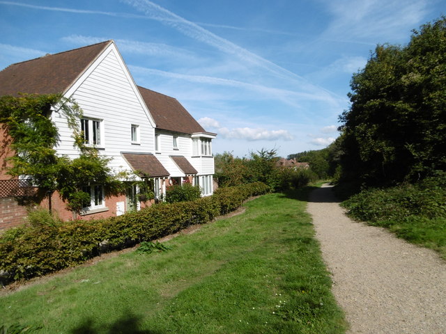
Image: © Marathon Taken: 7 Sep 2015
Kings Hill was developed from 1969 on the site of the former RAF West Malling. This is the eastern edge with Warren Woods Nature Park beyond to the right. Teston Road leads away from here as a track through the woods before becoming a road and leading to the North Pole public house on Wateringbury Road.
Images are licensed for reuse under creativecommons.org/licenses/by-sa/2.0
Image Location
Latitude
51.27147
Longitude
0.419452