Lane into Wolf valley
Introduction
The photograph on this page of Lane into Wolf valley by Derek Harper as part of the Geograph project.
The Geograph project started in 2005 with the aim of publishing, organising and preserving representative images for every square kilometre of Great Britain, Ireland and the Isle of Man.

There are currently over 7.5m images from over 14,400 individuals and you can help contribute to the project by visiting https://www.geograph.org.uk
Lane into Wolf valley
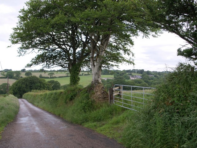
Image: © Derek Harper Taken: 15 Jun 2007
The lane past Westcleave descends to the River Wolf, the main river draining the upland area of Broadbury in west Devon. The farm seen through the trees is Northcombe.
Images are licensed for reuse under creativecommons.org/licenses/by-sa/2.0
Image Location


Leaflet Map data © OpenStreetMap
Latitude
50.736525
Longitude
-4.186161