Lombard Wall
Introduction
The photograph on this page of Lombard Wall by Stephen Richards as part of the Geograph project.
The Geograph project started in 2005 with the aim of publishing, organising and preserving representative images for every square kilometre of Great Britain, Ireland and the Isle of Man.

There are currently over 7.5m images from over 14,400 individuals and you can help contribute to the project by visiting https://www.geograph.org.uk
Lombard Wall
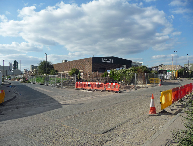
Image: © Stephen Richards Taken: 26 Sep 2015
Willoughby Way to the left. A scratchy little area of light industry, abandoned cars and other lumps of metal, flytipping, with the usual DIY and electronics outlets slowly trickling in to service new flats.
Images are licensed for reuse under creativecommons.org/licenses/by-sa/2.0
Image Location


Leaflet Map data © OpenStreetMap
Latitude
51.491197
Longitude
0.024682