Oxford County finger post, Kingston Blount
Introduction
The photograph on this page of Oxford County finger post, Kingston Blount by David Hawgood as part of the Geograph project.
The Geograph project started in 2005 with the aim of publishing, organising and preserving representative images for every square kilometre of Great Britain, Ireland and the Isle of Man.

There are currently over 7.5m images from over 14,400 individuals and you can help contribute to the project by visiting https://www.geograph.org.uk
Oxford County finger post, Kingston Blount
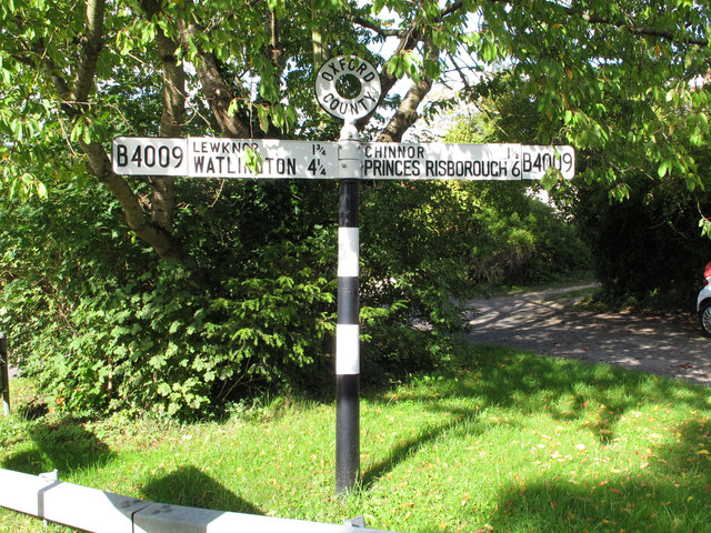
Image: © David Hawgood Taken: 25 Sep 2015
It shows the B4009 to Lewknor and Watlington one way, Chinnor and Princes Risborough the other way. Distances are in miles and quarters.
Images are licensed for reuse under creativecommons.org/licenses/by-sa/2.0
Image Location


Leaflet Map data © OpenStreetMap
Latitude
51.689301
Longitude
-0.931178