Farm buildings, Thrift Farm, Moulsham, Chelmsford
Introduction
The photograph on this page of Farm buildings, Thrift Farm, Moulsham, Chelmsford by Roger Jones as part of the Geograph project.
The Geograph project started in 2005 with the aim of publishing, organising and preserving representative images for every square kilometre of Great Britain, Ireland and the Isle of Man.

There are currently over 7.5m images from over 14,400 individuals and you can help contribute to the project by visiting https://www.geograph.org.uk
Farm buildings, Thrift Farm, Moulsham, Chelmsford
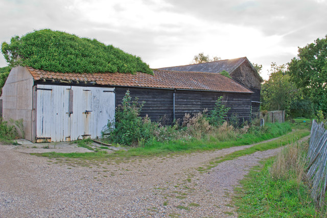
Image: © Roger Jones Taken: 26 Sep 2015
Most of this square has been built up, or in use as a golf course. However Thrift Farm, near the western boundary of the square, survives as a reminder of the area before Chelmsford's expansion.
Images are licensed for reuse under creativecommons.org/licenses/by-sa/2.0
Image Location
Latitude
51.714087
Longitude
0.459946