Footpath along arable field boundary, Stoke Tye
Introduction
The photograph on this page of Footpath along arable field boundary, Stoke Tye by Roger Jones as part of the Geograph project.
The Geograph project started in 2005 with the aim of publishing, organising and preserving representative images for every square kilometre of Great Britain, Ireland and the Isle of Man.

There are currently over 7.5m images from over 14,400 individuals and you can help contribute to the project by visiting https://www.geograph.org.uk
Footpath along arable field boundary, Stoke Tye
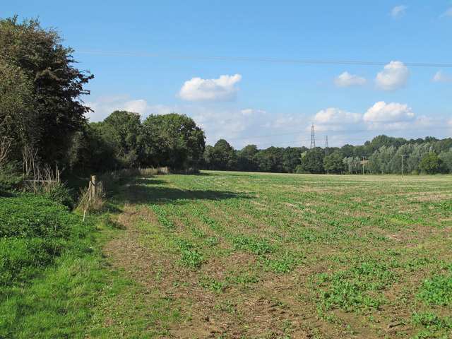
Image: © Roger Jones Taken: 20 Sep 2015
The footpath runs to the left of the post which marks the arable field boundary. Stoke Tye is part of Stoke-by-Nayland Civil Parish.
Images are licensed for reuse under creativecommons.org/licenses/by-sa/2.0
Image Location


Leaflet Map data © OpenStreetMap
Latitude
52.004509
Longitude
0.88224