Layd
Introduction
The photograph on this page of Layd by Anne Burgess as part of the Geograph project.
The Geograph project started in 2005 with the aim of publishing, organising and preserving representative images for every square kilometre of Great Britain, Ireland and the Isle of Man.

There are currently over 7.5m images from over 14,400 individuals and you can help contribute to the project by visiting https://www.geograph.org.uk
Layd
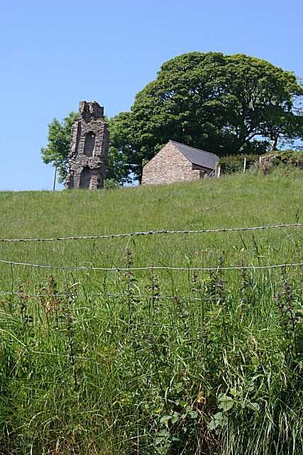
Image: © Anne Burgess Taken: 7 Jun 2007
I have not found anything to say what this piece of masonry is or was. It stands, unmarked on the 1:50,000 map, above the Layd Road.
Images are licensed for reuse under creativecommons.org/licenses/by-sa/2.0
Image Location


Leaflet Map data © OpenStreetMap
Latitude
55.093611
Longitude
-6.053792