Combined footpath and cycleway, Blaenavon
Introduction
The photograph on this page of Combined footpath and cycleway, Blaenavon by Jaggery as part of the Geograph project.
The Geograph project started in 2005 with the aim of publishing, organising and preserving representative images for every square kilometre of Great Britain, Ireland and the Isle of Man.

There are currently over 7.5m images from over 14,400 individuals and you can help contribute to the project by visiting https://www.geograph.org.uk
Combined footpath and cycleway, Blaenavon
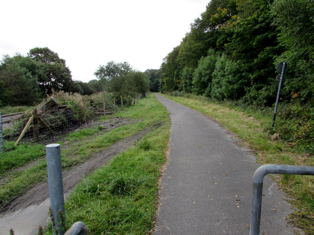
Image: © Jaggery Taken: 20 Sep 2015
Part of National Cycle Network route 492, southeast of this http://www.geograph.org.uk/photo/4677109 barrier.
Images are licensed for reuse under creativecommons.org/licenses/by-sa/2.0
Image Location
Latitude
51.767299
Longitude
-3.083321