Blue Bowl Inn
Introduction
The photograph on this page of Blue Bowl Inn by Nigel Mykura as part of the Geograph project.
The Geograph project started in 2005 with the aim of publishing, organising and preserving representative images for every square kilometre of Great Britain, Ireland and the Isle of Man.

There are currently over 7.5m images from over 14,400 individuals and you can help contribute to the project by visiting https://www.geograph.org.uk
Blue Bowl Inn
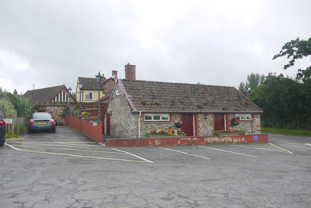
Image: © Nigel Mykura Taken: 5 Aug 2015
This is the view of the rear of the public house from its own car park just off the B3114.
Images are licensed for reuse under creativecommons.org/licenses/by-sa/2.0
Image Location
Latitude
51.316764
Longitude
-2.637035