Arable land on the edge of Amble
Introduction
The photograph on this page of Arable land on the edge of Amble by Graham Robson as part of the Geograph project.
The Geograph project started in 2005 with the aim of publishing, organising and preserving representative images for every square kilometre of Great Britain, Ireland and the Isle of Man.

There are currently over 7.5m images from over 14,400 individuals and you can help contribute to the project by visiting https://www.geograph.org.uk
Arable land on the edge of Amble
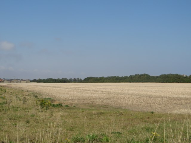
Image: © Graham Robson Taken: 11 Sep 2015
A large arable field on the edge of Amble. The field had a crop of oil seed rape growing on it which had been harvested when I took this photo.
Images are licensed for reuse under creativecommons.org/licenses/by-sa/2.0
Image Location
Latitude
55.324642
Longitude
-1.600619