Uphill and south on Old Matford Lane
Introduction
The photograph on this page of Uphill and south on Old Matford Lane by Robin Stott as part of the Geograph project.
The Geograph project started in 2005 with the aim of publishing, organising and preserving representative images for every square kilometre of Great Britain, Ireland and the Isle of Man.

There are currently over 7.5m images from over 14,400 individuals and you can help contribute to the project by visiting https://www.geograph.org.uk
Uphill and south on Old Matford Lane
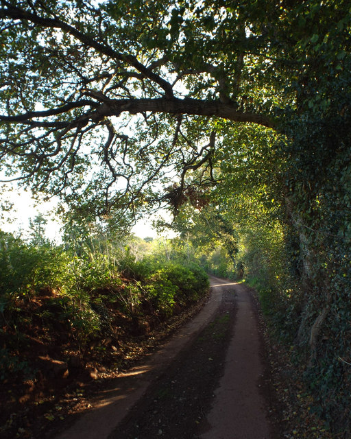
Image: © Robin Stott Taken: 5 Nov 2014
The lane is between hedgebanks some of the way.
Images are licensed for reuse under creativecommons.org/licenses/by-sa/2.0
Image Location


Leaflet Map data © OpenStreetMap
Latitude
50.689156
Longitude
-3.516415