Glannoventa Roman Fort
Introduction
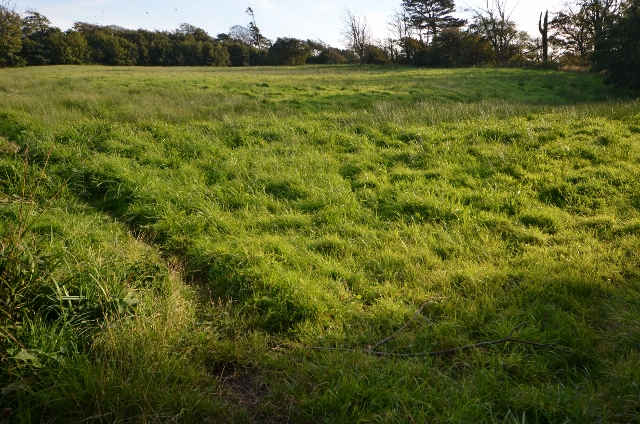
The photograph on this page of Glannoventa Roman Fort by Ashley Dace as part of the Geograph project.
The Geograph project started in 2005 with the aim of publishing, organising and preserving representative images for every square kilometre of Great Britain, Ireland and the Isle of Man.
There are currently over 7.5m images from over 14,400 individuals and you can help contribute to the project by visiting https://www.geograph.org.uk

Image: © Ashley Dace Taken: 27 Sep 2015
Rather less photogenic than the standing walls of the bathhouse on the other side of the track, the lumps and bumps in this field are the visible remains of the fort, a mainly timber-and-turf construction that was later fortified by stonework. The railway line on the other side of the trees cuts through some of the site, in that rather thuggish way that the Victorians were sometimes prone to, but for the most part the boundary is reasonably intact. Text Richard Law Image]

