Footpath, Upper Halliford
Introduction
The photograph on this page of Footpath, Upper Halliford by Alan Hunt as part of the Geograph project.
The Geograph project started in 2005 with the aim of publishing, organising and preserving representative images for every square kilometre of Great Britain, Ireland and the Isle of Man.

There are currently over 7.5m images from over 14,400 individuals and you can help contribute to the project by visiting https://www.geograph.org.uk
Footpath, Upper Halliford
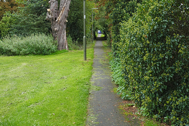
Image: © Alan Hunt Taken: 24 Sep 2015
The path from Upper Halliford Road along the south side of the recreation area to the Grange Farm estate.
Images are licensed for reuse under creativecommons.org/licenses/by-sa/2.0
Image Location
Latitude
51.406729
Longitude
-0.431108