Holmesdale Avenue
Introduction
The photograph on this page of Holmesdale Avenue by Ian Capper as part of the Geograph project.
The Geograph project started in 2005 with the aim of publishing, organising and preserving representative images for every square kilometre of Great Britain, Ireland and the Isle of Man.

There are currently over 7.5m images from over 14,400 individuals and you can help contribute to the project by visiting https://www.geograph.org.uk
Holmesdale Avenue
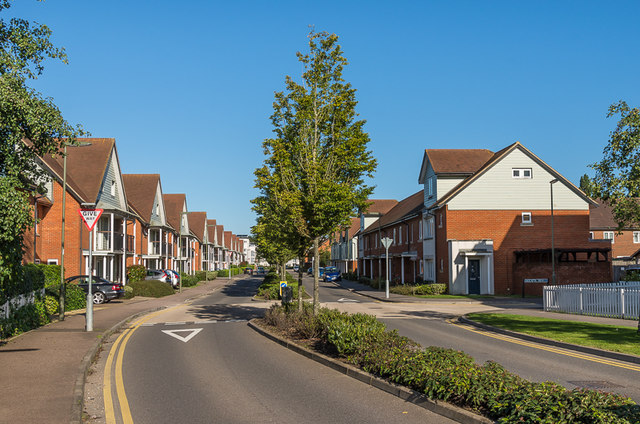
Image: © Ian Capper Taken: 25 Sep 2015
A major housing development on the site of the old Holmethorpe sand quarry, marketed as Watercolour. This is Holmesdale Avenue, which connects the development with Nutfield Road.
Images are licensed for reuse under creativecommons.org/licenses/by-sa/2.0
Image Location
Latitude
51.250682
Longitude
-0.149147