The Embankment/High Street, Bedford
Introduction
The photograph on this page of The Embankment/High Street, Bedford by Paul Harrop as part of the Geograph project.
The Geograph project started in 2005 with the aim of publishing, organising and preserving representative images for every square kilometre of Great Britain, Ireland and the Isle of Man.

There are currently over 7.5m images from over 14,400 individuals and you can help contribute to the project by visiting https://www.geograph.org.uk
The Embankment/High Street, Bedford
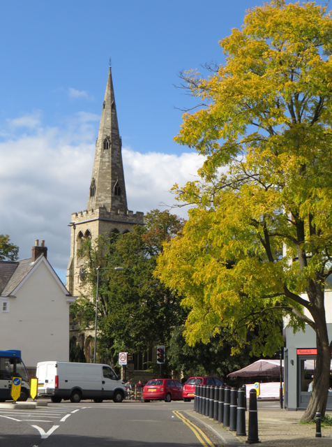
Image: © Paul Harrop Taken: 25 Sep 2015
Junction at the north end of Town Bridge, with the spire of St Paul's Church in the background
Images are licensed for reuse under creativecommons.org/licenses/by-sa/2.0
Image Location
Latitude
52.134897
Longitude
-0.466