Beeston Rylands: the south end of Trent Road
Introduction
The photograph on this page of Beeston Rylands: the south end of Trent Road by John Sutton as part of the Geograph project.
The Geograph project started in 2005 with the aim of publishing, organising and preserving representative images for every square kilometre of Great Britain, Ireland and the Isle of Man.

There are currently over 7.5m images from over 14,400 individuals and you can help contribute to the project by visiting https://www.geograph.org.uk
Beeston Rylands: the south end of Trent Road
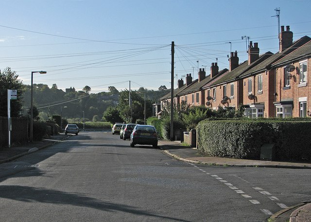
Image: © John Sutton Taken: 24 Sep 2015
The tower of Clifton church, on the other side of the Trent, shows above the trees to the left. Clifton is half a mile away as the crow flies, but a lot further on foot or by road.
Images are licensed for reuse under creativecommons.org/licenses/by-sa/2.0
Image Location
Latitude
52.913619
Longitude
-1.202732