Down Alfreton Road
Introduction
The photograph on this page of Down Alfreton Road by John Sutton as part of the Geograph project.
The Geograph project started in 2005 with the aim of publishing, organising and preserving representative images for every square kilometre of Great Britain, Ireland and the Isle of Man.

There are currently over 7.5m images from over 14,400 individuals and you can help contribute to the project by visiting https://www.geograph.org.uk
Down Alfreton Road
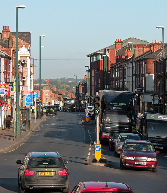
Image: © John Sutton Taken: 25 Sep 2015
A view from Canning Circus, taken from the top deck of a 77 bus to Strelley on a bright late-September morning.
Images are licensed for reuse under creativecommons.org/licenses/by-sa/2.0
Image Location
Latitude
52.956679
Longitude
-1.163535