Inverted benchmark on SW parapet of Coupland Beck Bridge
Introduction
The photograph on this page of Inverted benchmark on SW parapet of Coupland Beck Bridge by Roger Templeman as part of the Geograph project.
The Geograph project started in 2005 with the aim of publishing, organising and preserving representative images for every square kilometre of Great Britain, Ireland and the Isle of Man.

There are currently over 7.5m images from over 14,400 individuals and you can help contribute to the project by visiting https://www.geograph.org.uk
Inverted benchmark on SW parapet of Coupland Beck Bridge
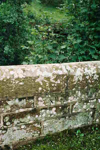
Image: © Roger Templeman Taken: 10 Sep 2008
Possibly part of an Ordnance Survey benchmark which was cut in 1844 and later moved with bridge modifications, and described on the Bench Mark Database at http://www.bench-marks.org.uk/bm28579
Images are licensed for reuse under creativecommons.org/licenses/by-sa/2.0
Image Location
Latitude
54.564313
Longitude
-2.44923