View towards Varteg Waste
Introduction
The photograph on this page of View towards Varteg Waste by Jaggery as part of the Geograph project.
The Geograph project started in 2005 with the aim of publishing, organising and preserving representative images for every square kilometre of Great Britain, Ireland and the Isle of Man.

There are currently over 7.5m images from over 14,400 individuals and you can help contribute to the project by visiting https://www.geograph.org.uk
View towards Varteg Waste
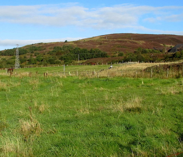
Image: © Jaggery Taken: 25 Sep 2015
This area NW of the B4246 Varteg Road is named Varteg Waste on maps, suggesting that it is a reclaimed area formerly heavily industrialised.
Images are licensed for reuse under creativecommons.org/licenses/by-sa/2.0
Image Location
Latitude
51.745645
Longitude
-3.071794