Stile to a public footpath, Varteg
Introduction
The photograph on this page of Stile to a public footpath, Varteg by Jaggery as part of the Geograph project.
The Geograph project started in 2005 with the aim of publishing, organising and preserving representative images for every square kilometre of Great Britain, Ireland and the Isle of Man.

There are currently over 7.5m images from over 14,400 individuals and you can help contribute to the project by visiting https://www.geograph.org.uk
Stile to a public footpath, Varteg
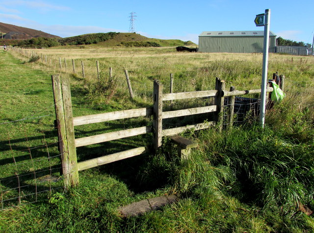
Image: © Jaggery Taken: 25 Sep 2015
50 metres west of Varteg Road, the stile gives walkers access to this http://www.geograph.org.uk/photo/4673852 track.
Images are licensed for reuse under creativecommons.org/licenses/by-sa/2.0
Image Location
Latitude
51.743335
Longitude
-3.068843