Bridge, Netherwitton
Introduction
The photograph on this page of Bridge, Netherwitton by Stephen Richards as part of the Geograph project.
The Geograph project started in 2005 with the aim of publishing, organising and preserving representative images for every square kilometre of Great Britain, Ireland and the Isle of Man.

There are currently over 7.5m images from over 14,400 individuals and you can help contribute to the project by visiting https://www.geograph.org.uk
Bridge, Netherwitton
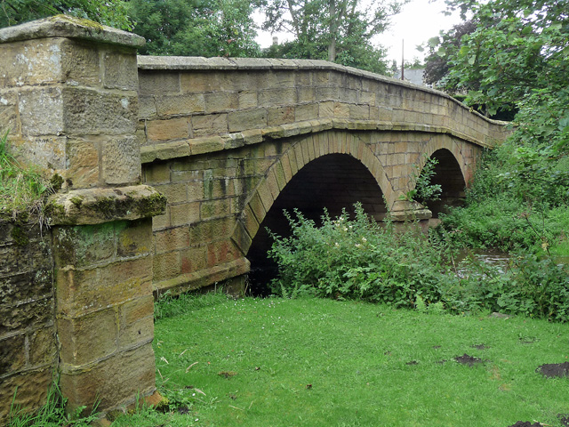
Image: © Stephen Richards Taken: 18 Aug 2012
Two segmental arches. The listing dates it to the late C18th or early C19th. It carries the road over the River Font. Grade II listed.
Images are licensed for reuse under creativecommons.org/licenses/by-sa/2.0
Image Location
Latitude
55.205774
Longitude
-1.8441