Former mill, Netherwitton
Introduction
The photograph on this page of Former mill, Netherwitton by Stephen Richards as part of the Geograph project.
The Geograph project started in 2005 with the aim of publishing, organising and preserving representative images for every square kilometre of Great Britain, Ireland and the Isle of Man.

There are currently over 7.5m images from over 14,400 individuals and you can help contribute to the project by visiting https://www.geograph.org.uk
Former mill, Netherwitton
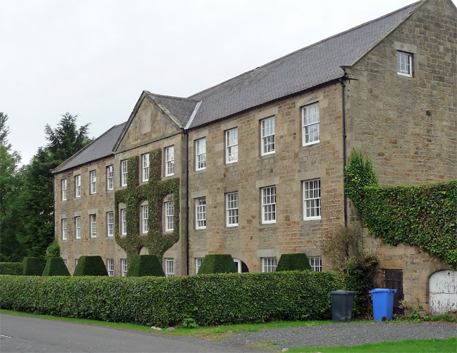
Image: © Stephen Richards Taken: 18 Aug 2012
A typically dignified Georgian effort, built in 1794 as a cotton mill, later a wollens mill and then a saw mill before being converted to housing in 1988 after a period of dereliction. Grade II listed.
Images are licensed for reuse under creativecommons.org/licenses/by-sa/2.0
Image Location
Latitude
55.205773
Longitude
-1.843472