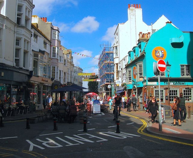
East Street, Brighton
Introduction
The photograph on this page of East Street, Brighton by Simon Carey as part of the Geograph project.
The Geograph project started in 2005 with the aim of publishing, organising and preserving representative images for every square kilometre of Great Britain, Ireland and the Isle of Man.
There are currently over 7.5m images from over 14,400 individuals and you can help contribute to the project by visiting https://www.geograph.org.uk

Image: © Simon Carey Taken: 20 Sep 2015
Originally the eastern end of Brighton until the late 18th century when the town began to expand. Kings Road is on the left whilst a footpath heads down to Pool valley bus station on the right. The Fishbowl pub on the right dates back to the late 17th century and was originally known as the Blue Anchor until the end of the 18th when it became the Greyhound, a name it retained until the 1990s when it changed to its current one. The street is now closed to traffic on weekends allowing the pub and adjacent cafes to bring tables out onto the street.
Image Location


