Looking down the Tay from west of Newburgh
Introduction
The photograph on this page of Looking down the Tay from west of Newburgh by Bob Moncrieff as part of the Geograph project.
The Geograph project started in 2005 with the aim of publishing, organising and preserving representative images for every square kilometre of Great Britain, Ireland and the Isle of Man.

There are currently over 7.5m images from over 14,400 individuals and you can help contribute to the project by visiting https://www.geograph.org.uk
Looking down the Tay from west of Newburgh
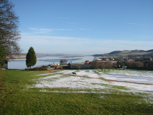
Image: © Bob Moncrieff Taken: 9 Feb 2004
Past Newburgh, Normans Law and Black Earnside on the south side of the estuary overlook the "Hard", "Little Bank" and "Peesweep" bank which have been exposed by the ebbing tide.
Images are licensed for reuse under creativecommons.org/licenses/by-sa/2.0
Image Location


Leaflet Map data © OpenStreetMap
Latitude
56.34982
Longitude
-3.250721