Worn benchmark on limekiln, Caer Bwdy Bay, Pembrokeshire
Introduction
The photograph on this page of Worn benchmark on limekiln, Caer Bwdy Bay, Pembrokeshire by Becky Williamson as part of the Geograph project.
The Geograph project started in 2005 with the aim of publishing, organising and preserving representative images for every square kilometre of Great Britain, Ireland and the Isle of Man.

There are currently over 7.5m images from over 14,400 individuals and you can help contribute to the project by visiting https://www.geograph.org.uk
Worn benchmark on limekiln, Caer Bwdy Bay, Pembrokeshire
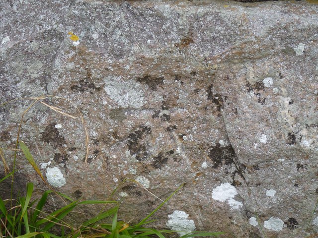
Image: © Becky Williamson Taken: 24 Sep 2015
A very worn Ordnance Survey benchmark on a limekiln at Caer Bwdy Bay on the Pembrokeshire coastal path. The benchmark is described on the database at http://www.bench-marks.org.uk/bm67268.
Images are licensed for reuse under creativecommons.org/licenses/by-sa/2.0
Image Location
Latitude
51.873968
Longitude
-5.245762