Nizzells Lane, Hove
Introduction
The photograph on this page of Nizzells Lane, Hove by Simon Carey as part of the Geograph project.
The Geograph project started in 2005 with the aim of publishing, organising and preserving representative images for every square kilometre of Great Britain, Ireland and the Isle of Man.

There are currently over 7.5m images from over 14,400 individuals and you can help contribute to the project by visiting https://www.geograph.org.uk
Nizzells Lane, Hove
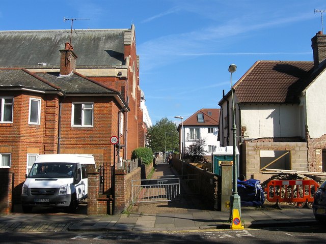
Image: © Simon Carey Taken: 20 Sep 2015
Small footpath linking Nizzells Avenue to Davigdor Road laid out in the first decade of the 20th century. On the left the large structure is St Mary & St Abram Coptic Orthodox Church, formerly St Thomas', with the vicarage on the left.
Images are licensed for reuse under creativecommons.org/licenses/by-sa/2.0
Image Location
Latitude
50.83094
Longitude
-0.155688