The road to Snishival
Introduction
The photograph on this page of The road to Snishival by Greg Morss as part of the Geograph project.
The Geograph project started in 2005 with the aim of publishing, organising and preserving representative images for every square kilometre of Great Britain, Ireland and the Isle of Man.

There are currently over 7.5m images from over 14,400 individuals and you can help contribute to the project by visiting https://www.geograph.org.uk
The road to Snishival
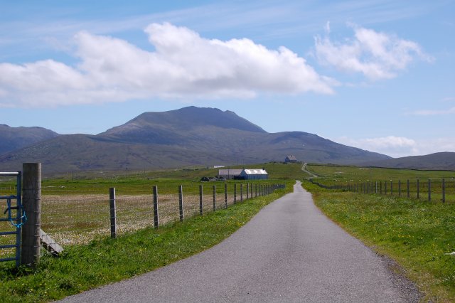
Image: © Greg Morss Taken: 13 Jun 2007
A no-through (at least on tarmac) road that leads up to the house on the hill. Beinn Mhor, the highest hill on Uist behind.
Images are licensed for reuse under creativecommons.org/licenses/by-sa/2.0
Image Location
Latitude
57.294163
Longitude
-7.397743