Junction at the edge of central Blaenavon
Introduction
The photograph on this page of Junction at the edge of central Blaenavon by Jaggery as part of the Geograph project.
The Geograph project started in 2005 with the aim of publishing, organising and preserving representative images for every square kilometre of Great Britain, Ireland and the Isle of Man.

There are currently over 7.5m images from over 14,400 individuals and you can help contribute to the project by visiting https://www.geograph.org.uk
Junction at the edge of central Blaenavon
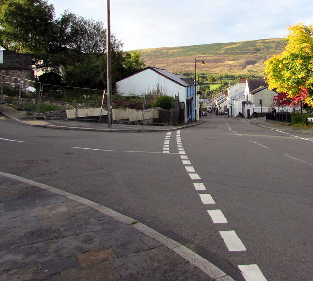
Image: © Jaggery Taken: 23 Sep 2015
Queen Street on the left (some sources show Old Queen Street) is where King Street on this side becomes Broad Street (the town's main shopping street) ahead.
Images are licensed for reuse under creativecommons.org/licenses/by-sa/2.0
Image Location
Latitude
51.775031
Longitude
-3.083361