The road to Kirkton
Introduction
The photograph on this page of The road to Kirkton by Peter Whatley as part of the Geograph project.
The Geograph project started in 2005 with the aim of publishing, organising and preserving representative images for every square kilometre of Great Britain, Ireland and the Isle of Man.

There are currently over 7.5m images from over 14,400 individuals and you can help contribute to the project by visiting https://www.geograph.org.uk
The road to Kirkton
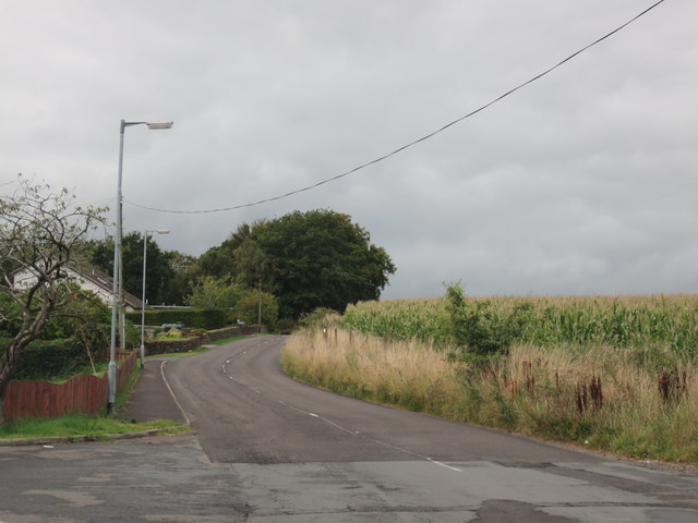
Image: © Peter Whatley Taken: 20 Sep 2015
A country lane leaves the A701 to wind its way toward Kirkton and various other villages.
Images are licensed for reuse under creativecommons.org/licenses/by-sa/2.0
Image Location
Latitude
55.094861
Longitude
-3.589212