Mary Michael Pilgrims Way
Introduction
The photograph on this page of Mary Michael Pilgrims Way by Neil Owen as part of the Geograph project.
The Geograph project started in 2005 with the aim of publishing, organising and preserving representative images for every square kilometre of Great Britain, Ireland and the Isle of Man.

There are currently over 7.5m images from over 14,400 individuals and you can help contribute to the project by visiting https://www.geograph.org.uk
Mary Michael Pilgrims Way
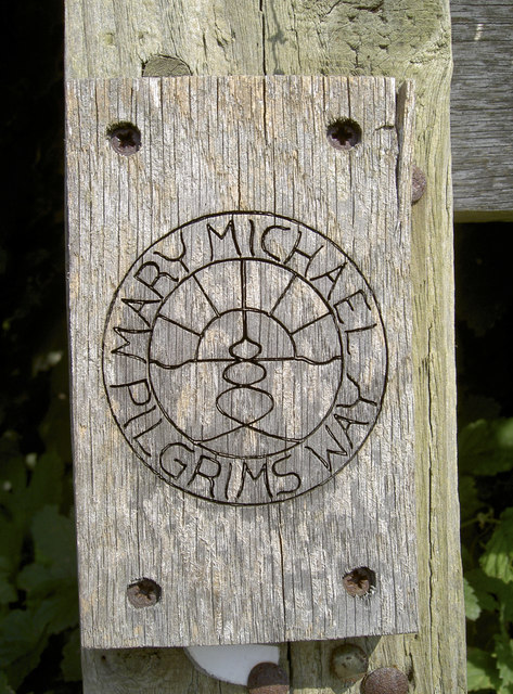
Image: © Neil Owen Taken: 10 Sep 2015
One of Britain's longer distance walking routes, the Mary Michael Pilgrim Way is a fairly recent creation. It originally went from Brentor (west Dartmoor) to Glastonbury and was completed in 2011. However, the urge to extend it brought about the possibility to travel from the cliff tops of West Cornwall at Carn Lês Boel near Land’s End to Hopton on the Norfolk Coast. Here the path is marked, informally, as it wends its way across the Somerset Levels and the former airbase of Westonzoyland.
Images are licensed for reuse under creativecommons.org/licenses/by-sa/2.0
Image Location
Latitude
51.112211
Longitude
-2.9185