King George's Field, Southall
Introduction
The photograph on this page of King George's Field, Southall by David Hawgood as part of the Geograph project.
The Geograph project started in 2005 with the aim of publishing, organising and preserving representative images for every square kilometre of Great Britain, Ireland and the Isle of Man.

There are currently over 7.5m images from over 14,400 individuals and you can help contribute to the project by visiting https://www.geograph.org.uk
King George's Field, Southall
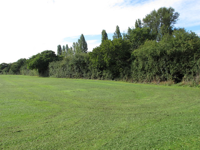
Image: © David Hawgood Taken: 17 Sep 2015
View at the north end of the field, looking along the hedge beside the Grand Union Canal. Named following funding from King George's Field Foundation, set up following the death of George V in 1936 (information from London Gardens Online website).
Images are licensed for reuse under creativecommons.org/licenses/by-sa/2.0
Image Location
Latitude
51.528096
Longitude
-0.376195