Barrow's Green Lane, Widnes
Introduction
The photograph on this page of Barrow's Green Lane, Widnes by Sue Adair as part of the Geograph project.
The Geograph project started in 2005 with the aim of publishing, organising and preserving representative images for every square kilometre of Great Britain, Ireland and the Isle of Man.

There are currently over 7.5m images from over 14,400 individuals and you can help contribute to the project by visiting https://www.geograph.org.uk
Barrow's Green Lane, Widnes
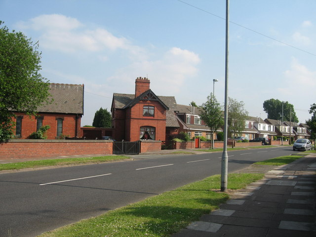
Image: © Sue Adair Taken: 8 Jun 2007
Barrow's Green Lane, Widnes with Cuerdley Cottage to the centre, marked as Wood End Farm on my old map.
Images are licensed for reuse under creativecommons.org/licenses/by-sa/2.0
Image Location
Latitude
53.381006
Longitude
-2.704716