Path into open space, Greenford
Introduction
The photograph on this page of Path into open space, Greenford by David Hawgood as part of the Geograph project.
The Geograph project started in 2005 with the aim of publishing, organising and preserving representative images for every square kilometre of Great Britain, Ireland and the Isle of Man.

There are currently over 7.5m images from over 14,400 individuals and you can help contribute to the project by visiting https://www.geograph.org.uk
Path into open space, Greenford
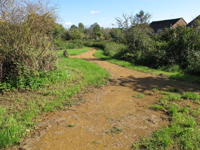
Image: © David Hawgood Taken: 17 Sep 2015
The open green space has the canal on the West and Western Avenue on the North.
Images are licensed for reuse under creativecommons.org/licenses/by-sa/2.0
Image Location
Latitude
51.534753
Longitude
-0.369902