Slate Pit Lane near Grey Lodge
Introduction
The photograph on this page of Slate Pit Lane near Grey Lodge by Mat Fascione as part of the Geograph project.
The Geograph project started in 2005 with the aim of publishing, organising and preserving representative images for every square kilometre of Great Britain, Ireland and the Isle of Man.

There are currently over 7.5m images from over 14,400 individuals and you can help contribute to the project by visiting https://www.geograph.org.uk
Slate Pit Lane near Grey Lodge
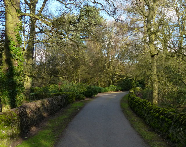
Image: © Mat Fascione Taken: 19 Jan 2014
This lane runs between the A50 Markfield Road and Groby Lodge Farm.
Images are licensed for reuse under creativecommons.org/licenses/by-sa/2.0
Image Location
Latitude
52.666438
Longitude
-1.249675