Summit of Intake Road
Introduction
The photograph on this page of Summit of Intake Road by Stephen Craven as part of the Geograph project.
The Geograph project started in 2005 with the aim of publishing, organising and preserving representative images for every square kilometre of Great Britain, Ireland and the Isle of Man.

There are currently over 7.5m images from over 14,400 individuals and you can help contribute to the project by visiting https://www.geograph.org.uk
Summit of Intake Road
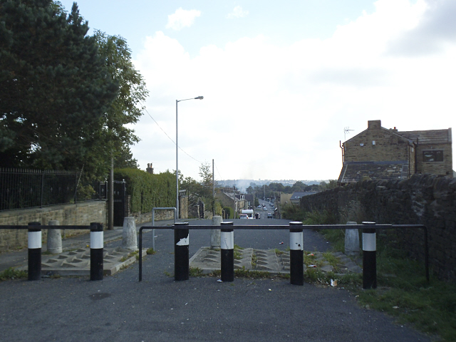
Image: © Stephen Craven Taken: 19 Sep 2015
This point is the southern end of a ridge that runs south from Eccleshill at about 210m altitude, effectively the watershed between Bradford and Leeds. The view is east-south-east. An extra line of "defences" has been added to the traffic barrier since Stephen Armstrong's 2010 photo Image
Images are licensed for reuse under creativecommons.org/licenses/by-sa/2.0
Image Location
Latitude
53.807557
Longitude
-1.724503