Pen Lan
Introduction
The photograph on this page of Pen Lan by Rude Health as part of the Geograph project.
The Geograph project started in 2005 with the aim of publishing, organising and preserving representative images for every square kilometre of Great Britain, Ireland and the Isle of Man.

There are currently over 7.5m images from over 14,400 individuals and you can help contribute to the project by visiting https://www.geograph.org.uk
Pen Lan
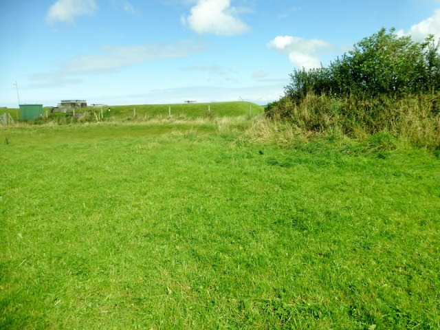
Image: © Rude Health Taken: 12 Sep 2015
Bagged high point in field and reservoir with Alex and Smudge. Name: Pen Lan Hill number: 15425 Height:183m / 600ft Parent (Ma/M): 2221 Rhos Ymryson Section:31C: South-West Wales County/UA: Cardiganshire [Ceredigion] (CoU) Class: Tump (100-199m) Grid ref:SN252471 (est) Drop: 36m Col:147m SN245459
Images are licensed for reuse under creativecommons.org/licenses/by-sa/2.0
Image Location
Latitude
52.094852
Longitude
-4.552003