Banc-y-Warren
Introduction
The photograph on this page of Banc-y-Warren by Rude Health as part of the Geograph project.
The Geograph project started in 2005 with the aim of publishing, organising and preserving representative images for every square kilometre of Great Britain, Ireland and the Isle of Man.

There are currently over 7.5m images from over 14,400 individuals and you can help contribute to the project by visiting https://www.geograph.org.uk
Banc-y-Warren
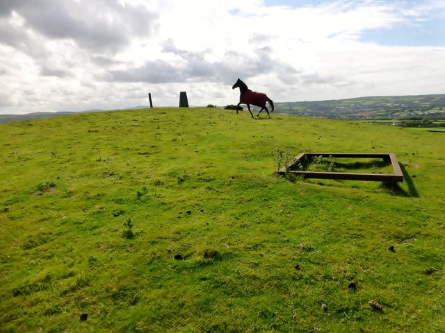
Image: © Rude Health Taken: 12 Sep 2015
Parked in the village then walked up the main road to use track to the NW to access two gates to summit field with two horses. Name: Banc y Warren Hill number: 15488 Height:146m / 479ft Parent (Ma/M): 2221 Rhos Ymryson Section:31C: South-West Wales County/UA: Cardiganshire [Ceredigion] (CoU) Class: Tump (100-199m) Grid ref:SN204475 (est) Drop: 38m Col:108m SN206476
Images are licensed for reuse under creativecommons.org/licenses/by-sa/2.0
Image Location
Latitude
52.096615
Longitude
-4.623211